7: From Morton Bridge
A circular walking route of 3 or 4 miles linking places in the northern part of Thornbury to a social centre at the Anchor Inn. 4 stiles and a couple of kissing gates. Some cow pasture and arable land.
https://www.komoot.com/tour/2703339410
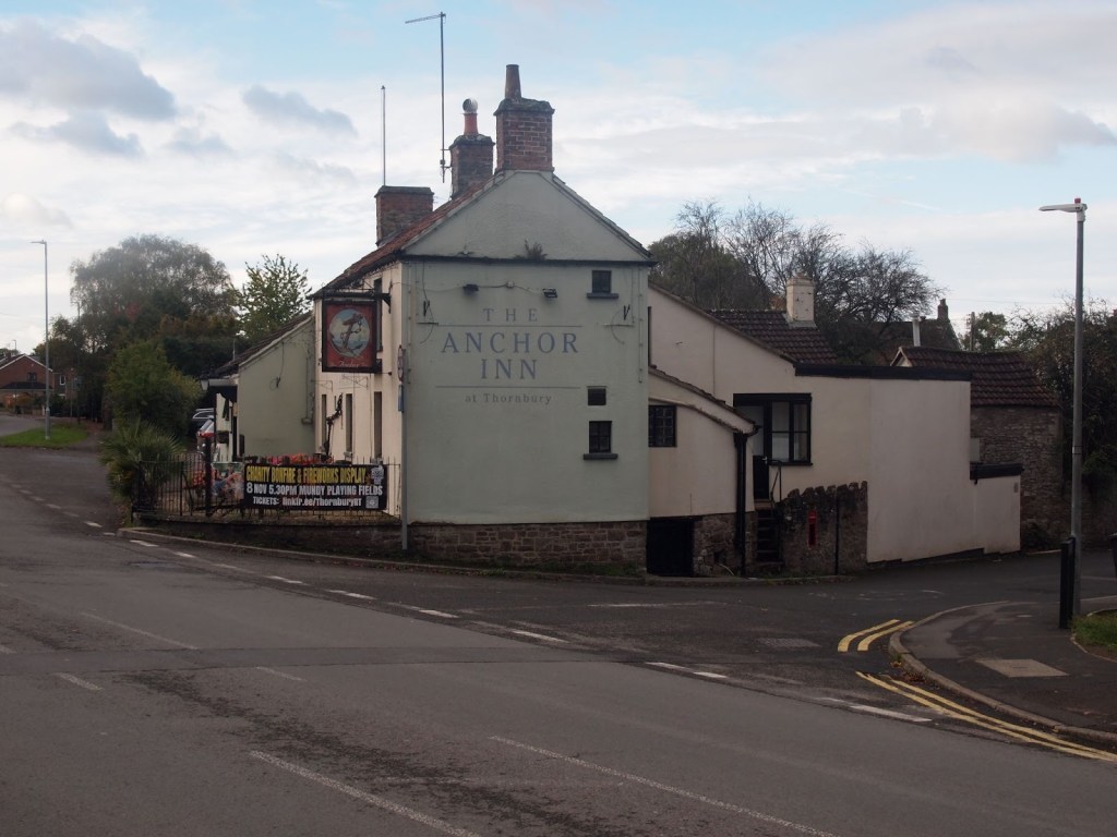
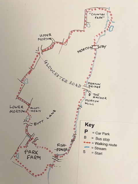
Start at The Anchor by Morton Bridge. (Do not park in the pub car park unless you have permission. The T1 bus stops opposite the pub in Severn View.)
From the pub, turn left and cross Park Road and Morton Bridge and use the traffic island to cross Gloucester Road.
Follow the path past the Community Orchard on your right.

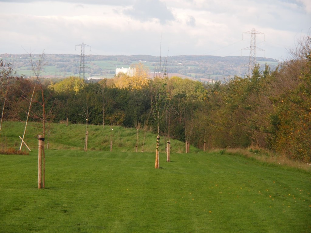
Keep going alongside the Morton Brook until you go through a subway into Thornbury Country Park.
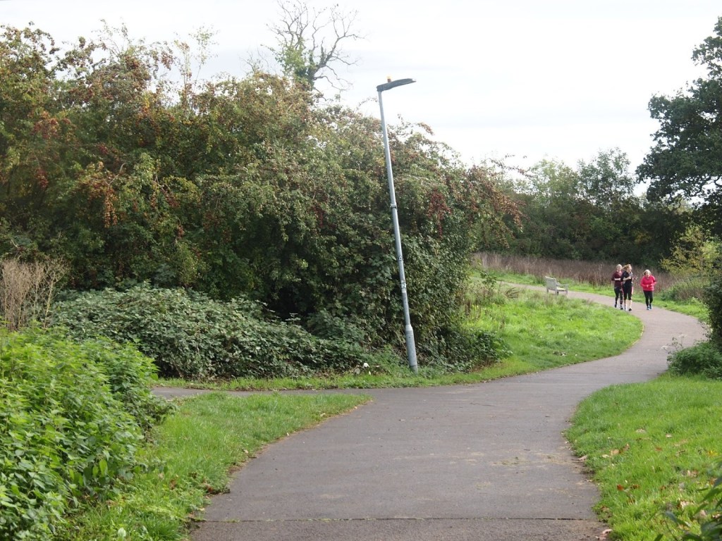
Keep straight ahead through a hedge then turn right on a tarmac path down to a footbridge over the brook.
Follow the path around the attenuation pond, then turn left on a footbridge over a tributary stream. Follow the winding path to a footbridge back over the brook. Follow the path up to a complex junction, then follow the path uphill next to the hedge on your right.At the top, turn left alongside the football pitches and another attenuation pond with a hedge on your right. At the end of the hedge, turn right and follow the hedge on your right past one stile to another one leading into a field.
Bear left to a gap or gate into the next field. Follow the right hand hedge down to a field gate onto a lane.

Turn left and follow the lane to a road junction. Go straight across Gloucester Road and the road to Rockhampton to a Bristol Gate into a field. The right of way goes straight across the field following the power line, but it is sometimes better to go around the left hand edge of the field.
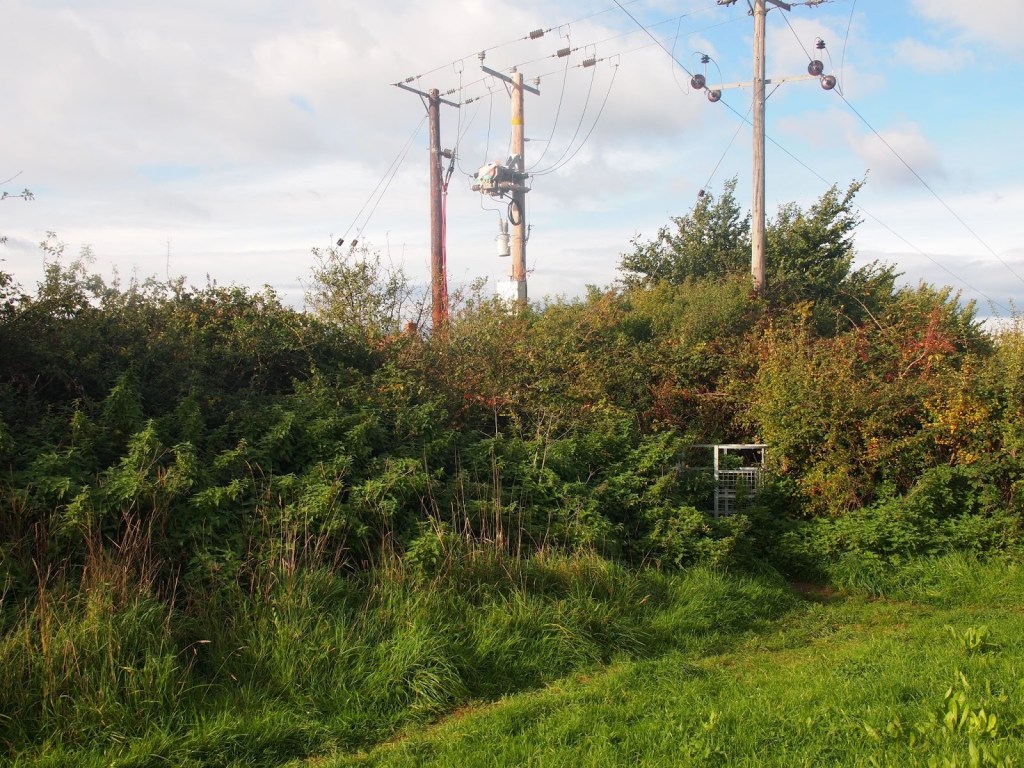
There is a kissing gate hidden under the pylon. Through the gate into Morton Meadows, turn right and follow the right hand hedge past an attenuation pond to stone stile in the corner.
In the next field, the right of way goes diagonally right across the field to a stile and then sharply left to another stone stile, but it is probably better to follow the left hand hedge to the stone stile.
In any case, the way now goes down an enclosed path to the “Butterfly” estate. Over the stile, Turn right and follow the path around the allotments and attenuation pond. Turn right to find a kissing gate into Butt Lane. Cross the road into Ringtail Lane.
Follow the lane to “Barley Fields.” Cross on the yellow path to “Harvest Way” and continue past the play equipment to a cul-de-sac. Keep straight ahead to a footbridge over Morton Brook. Follow the path around to the left to find a kissing gate next to the brook.
(The map shows a trim trail around Park Farm estate that extends the route.)
Turn right and left on the path between some houses and the stream. When you come to a T-junction, turn left and then right along the other side of the stream.
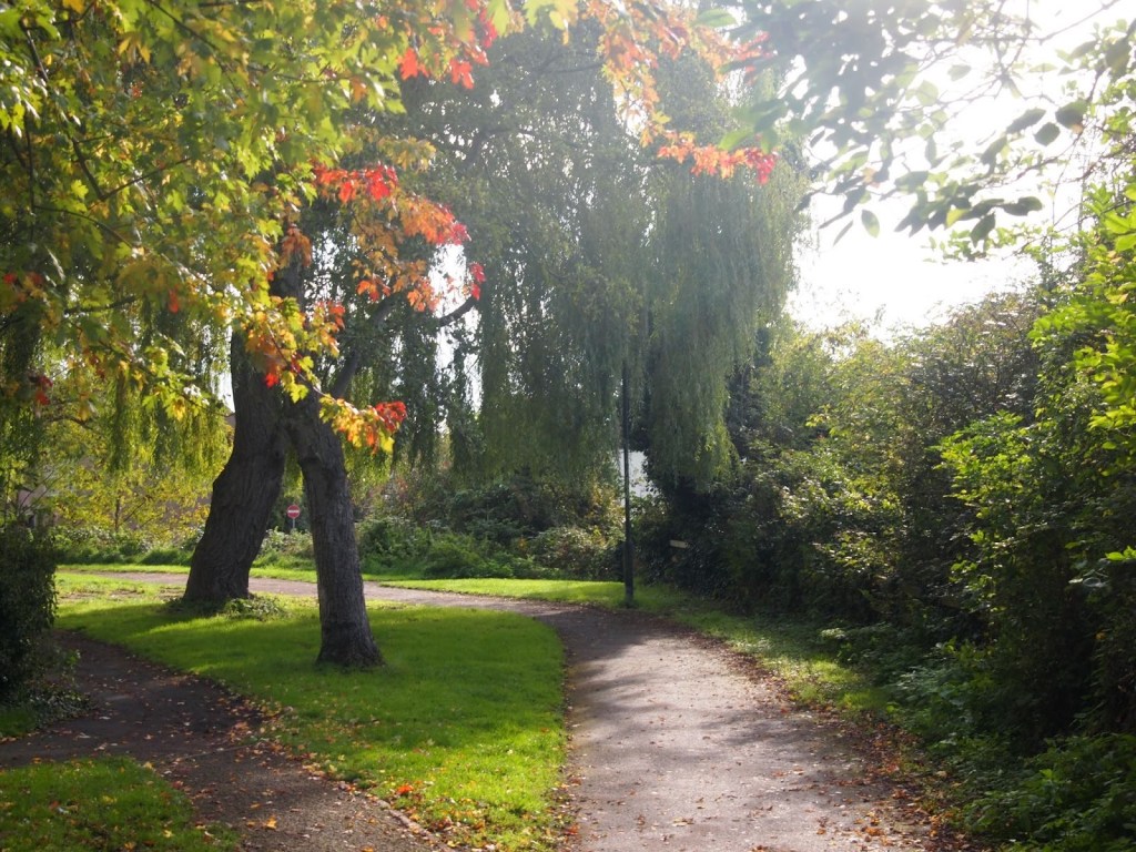
Keep right when the path splits and turn right over a footbridge, which leads to the back entrance to the Anchor.
Every effort has been made to ensure that the information in this leaflet is accurate and up to date at the time of publication. However, paths, access, and conditions may change over time due to weather, maintenance, or other factors beyond the control of the author or publisher. Walkers follow this route entirely at their own risk. Walkers are advised to take appropriate care, use suitable clothing and equipment, and check current conditions before setting out.
