5: Cleve Rail
A circular wheelchair accessible route of 3.25 miles miles (1hr 23). There is one hill that is rewarded by views across the Severn
https://www.komoot.com/tour/2702731150

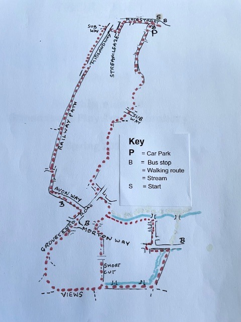
Start next to Aldi in the St Mary’s Shopping Centre – close to buses and parking.
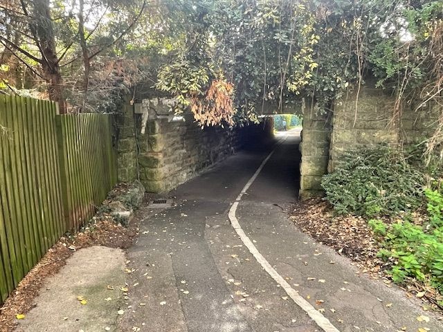
Cross Rock Street towards the Rock Street car park and turn right. Cross Bath Road and Lower Bath Road and turn left down Streamleaze. Take the first right to a tunnel under Midland Road.
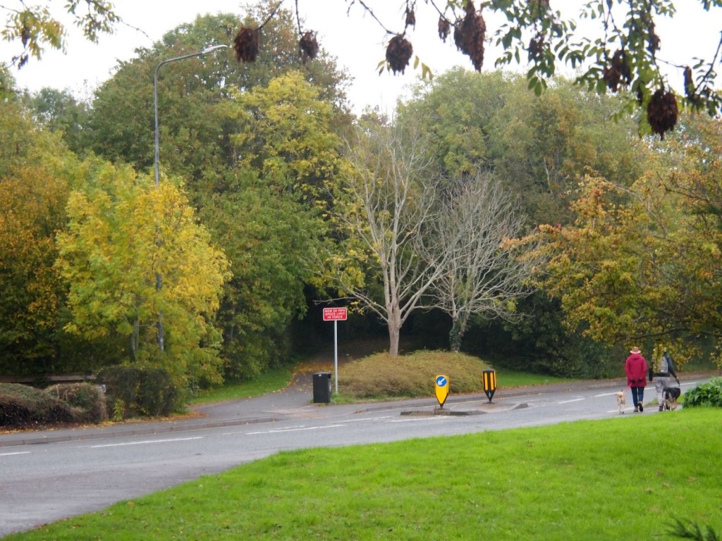
Turn immediately left on the other side and follow the enclosed path past Essilor to Cooper Road. Cross the road and turn left over Midland Way using the traffic island.
Follow the path along the old Midland Railway Line. Keep going until you reach the end.
Cross The Link and turn left to cross Avon Way. Turn right and follow the footway around the bend. Cross over the road when you reach the bus stop and turn left past Bockenem Close.
Turn right up Grovesend Road and cross the road just before the roundabout. Turn right to cross Morton Way and make your way up Grovesend Road and immediately left into the Cleve Wood Estate.
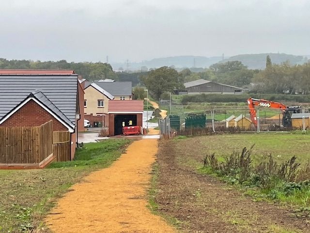
When you get to the road, turn right on the yellow (not brick) road, which takes you up the hill. Keep right past the play equipment and MUGA, but ignore the path up to the right unless you want to admire the view from the picnic tables.
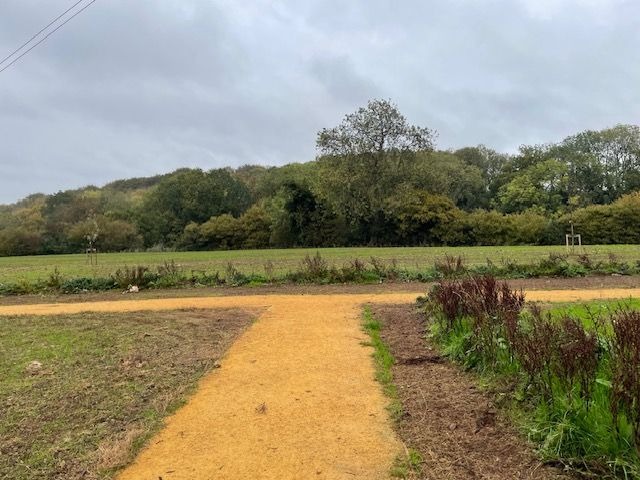
At the T-junction turn left down the main yellow path.
Follow the path past the houses, the allotments and the old farm until you reach the wood known as Crossways Wood or Hackett Wood.
Turn left on the yellow path alongside the wood to a kissing gate onto Morton Way.
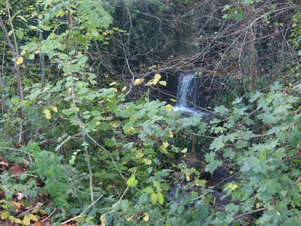
Otherwise, turn left on the path alongside the hedge to Cleve Wood Road. Turn right, cross Morton Way. Turn right and then left down Cheviot Drive, using drives to avoid kerbs. At the end, do not cross the bridge, but turn left alongside the stream on your right.
At the end turn right on the path up to Malvern Drive.
Turn left down to Grovesend Road, cross over and turn right and second left on a cut through to Streamleaze Open Space.
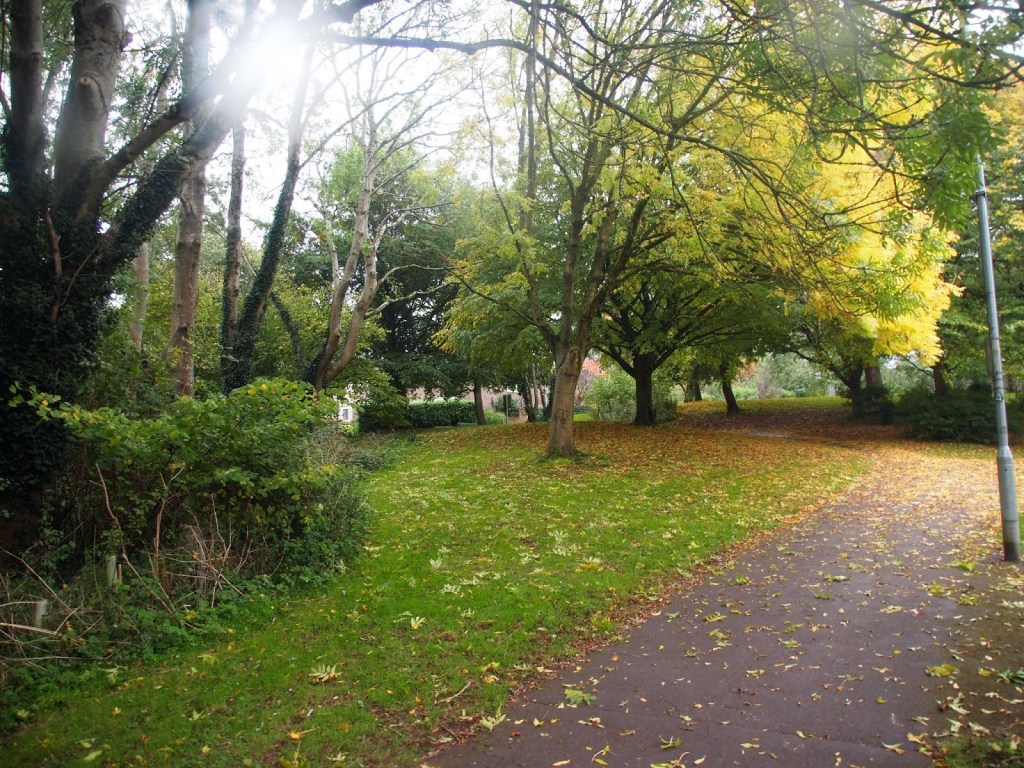
When you come to a newish plantation, turn right and follow the path around the right hand edge of the green open space.

You will pass four or five inviting cutthroughs on the right before you are more or less forced to turn right past the last row of houses.
At a junction, turn left to the underpass beneath Streamleaze road. Continue across one path and follow the path through to the left. At the first junction turn right then left at the next. This takes you around the edge of the estate until you can turn right on a path with a school fence on the right. And a wall on the left. At the end of this path, continue up Bath Road, past the car park to Rock Street.
Every effort has been made to ensure that the information in this leaflet is accurate and up to date at the time of publication. However, paths, access, and conditions may change over time due to weather, maintenance, or other factors beyond the control of the author or publisher. Walkers follow this route entirely at their own risk. Walkers are advised to take appropriate care, use suitable clothing and equipment, and check current conditions before setting out.
