4: Crossways and Clay
A circular walk of about 3 miles. There is one set of steps and one kissing gate. The surface is nearly all hard, but one short section can be muddy.
https://www.komoot.com/tour/2702646265

Start next to Aldi in the St Mary’s Shopping Centre – close to buses and parking.
More ‘ginnels’, ‘cut-throughs’ and other paths between buildings .
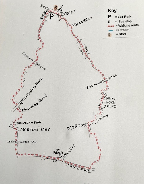
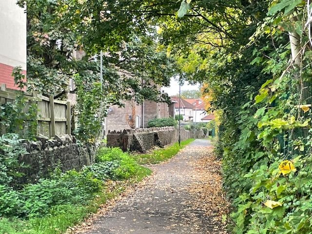
Cross Rock Street towards the Rock Street car park and turn left. Cross the top of Gillingstool and go down the ginnel in the picture.
Go straight across Pullin’s Green into Crispin Lane. At the end turn left into Hillcrest then immediately right through another ginnel into the old Sixth Form playing field.
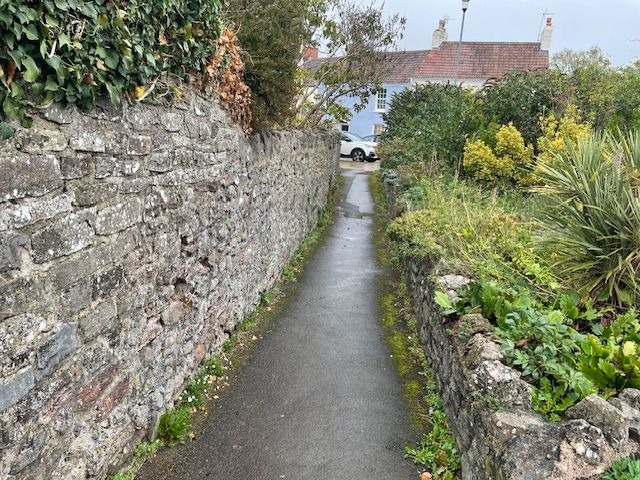
Go straight ahead across the field or take the path around the right hand edge of the field. In either case, descend to the Streamside Path and go up the ginnel into Maple Avenue. Go straight ahead on the right hand path to find a path on the bend leading to a small green. Keep right. When you reach some steps go up them and turn right into another ginnel.
Cross the road to some steps and follow the path past some houses on the left and an open space on the right. At a 3-way junction, turn right and right again, which takes you into a ginnel leading to Primrose Drive. Turn right, cross two roads, then turn right on a path past some oak trees into a cul de sac.
Turn left through another ginnel into Morton Way and turn right. After you have passed the bus stop, cross the road into Collester Way
Take the yellow path on the left. Turn left when you come out on a road, then right on the path that leads out onto Clay Lane.

Turn right and follow Clay Lane until you reach The Hackett opposite St Paul’s Church.
Turn left to find a kissing gate on the right, just before you reach a house.
Through the gate, turn left and follow the yellow brick road (Well it’s not really brick!) Continue past the wood and then a drainage ditch on the right and a farm and a hedge on the left.

Turn right on the other side of a hedge and continue with the hedge on your right and apair of attenuation ponds on the left. You will cross Cleve Wood Road on the way to a kissing gate onto Morton Way.
Turn left and then cross Morton Way into Chiltern Park. At the T-junction, turn left and second right on the path past the houses on your left. Follow the path through the trees and around to the left to emerge on Malvern Drive.
Turn left down to Grovesend Road, cross over and turn right and second left on a cut through to Streamleaze Open Space.
When you come to a newish plantation, turn right and follow the path around the right hand edge of the green open space.
You will pass four or five inviting cutthroughs on the right before you are more or less forced to turn right past the last row of houses.
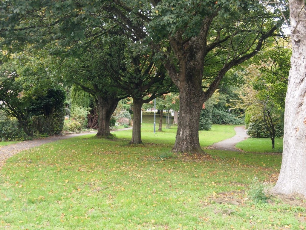
At a junction, turn left to the underpass beneath Streamleaze road.
Continue across one path and follow the path through a cutthrough to the left. At the first junction turn right then left at the next. This takes you around the edge of the estate until you are able to turn right into a cutthrough that is nearly a ginnel as it has a wall on the left and a school fence on the right.
At the end of this path, continue up Bath Road, past the car park to Rock Street.
Every effort has been made to ensure that the information in this leaflet is accurate and up to date at the time of publication. However, paths, access, and conditions may change over time due to weather, maintenance, or other factors beyond the control of the author or publisher. Walkers follow this route entirely at their own risk. Walkers are advised to take appropriate care, use suitable clothing and equipment, and check current conditions before setting out.
