2: The Streamside Walk
A wheelchair accessible Community Forest Path of about 3.6 miles (1hr 31)
https://www.komoot.com/tour/1975343566
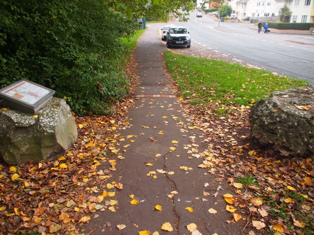
Start by the pedestrian lights next to the St Mary Centre on Rock Street.
Cross Rock Street towards the car park and turn right. Turn left down Bath Road and keep straight on past the car park entrance and Turnberries to the back of Gillingstool Primary School.
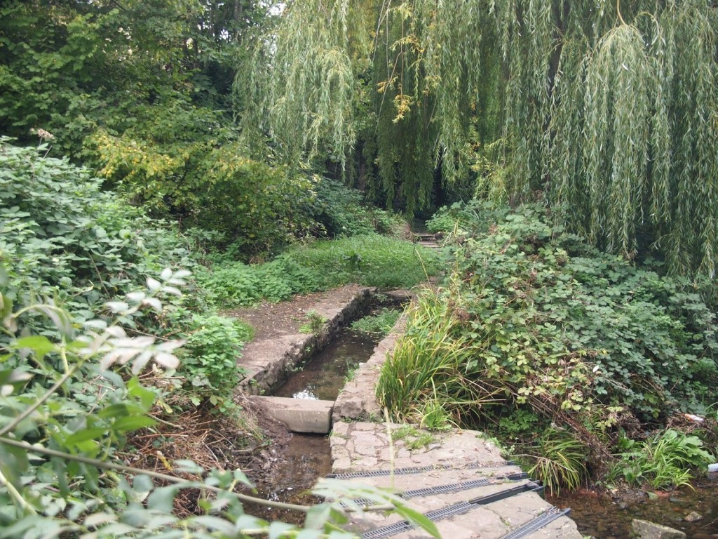
On the right is a building called The Bathings on the site of a former swimming bath. The stream at the end of this walk used to drain the pool.
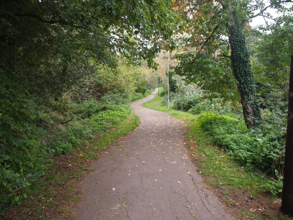
Follow the tarmac path between the back of the school and stone wall.
Turn left at the T-junction and follow the path around the houses until it splits into three.
Take the middle path and bear left on the main path between two rows of houses. Bear right on the path to the underpass beneath Streamleaze.
I always feel that this marks the start of The Green!
On the other side, head up between houses on the left and trees on the right.
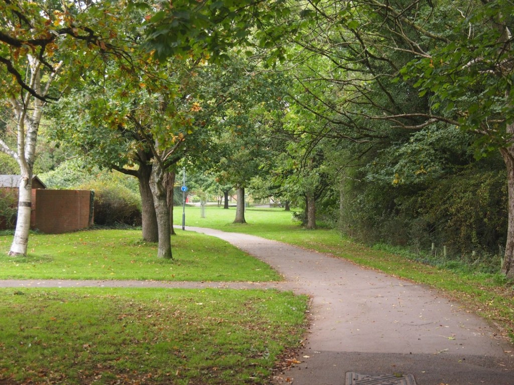
Keep left along the side of a long thin open space, passing paths joining from the left and right until you come to a new plantation on the right.
Turn left to Grovesend Road and turn right to find a path across the verge. Cross the road and turn left and then right into Malvern Drive.
Turn right on a metalled path past a sort of car park and then keep left alongside a tree-lined path.
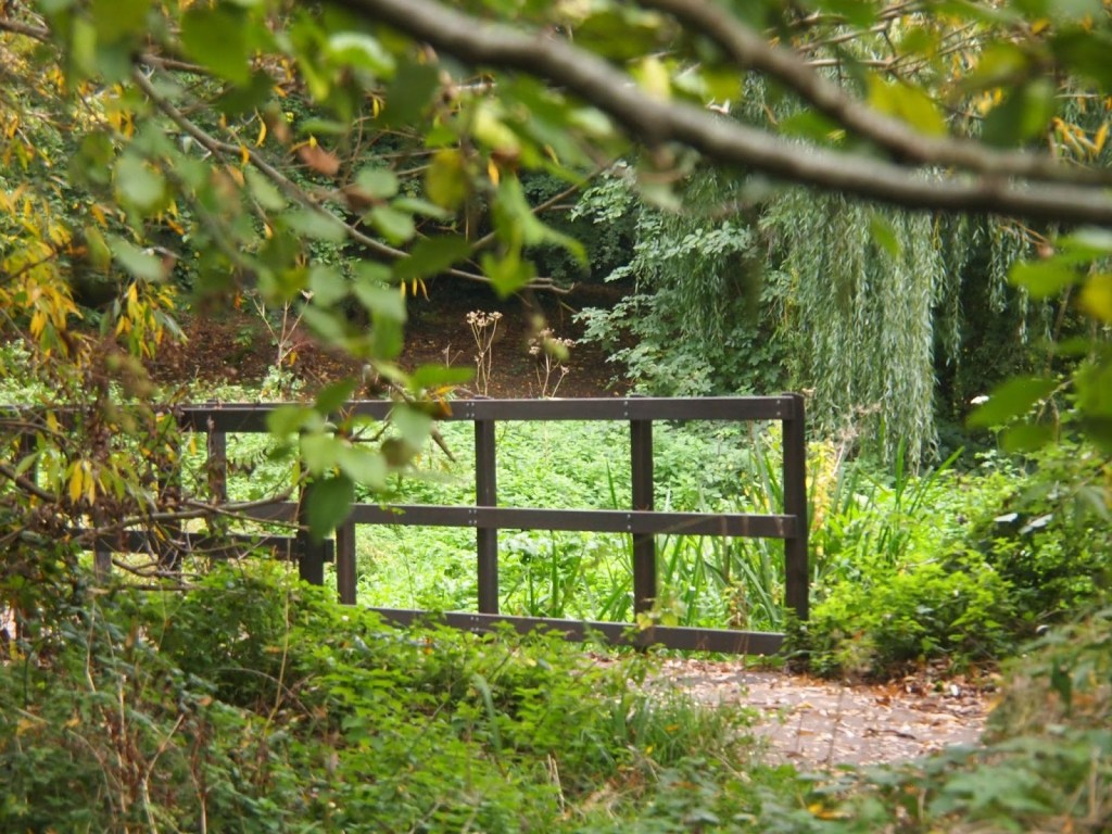
Pass three footbridges on the right. (One is currently out of use.)

At a grassy triangle, keep straight on along the left hand side of an open space.
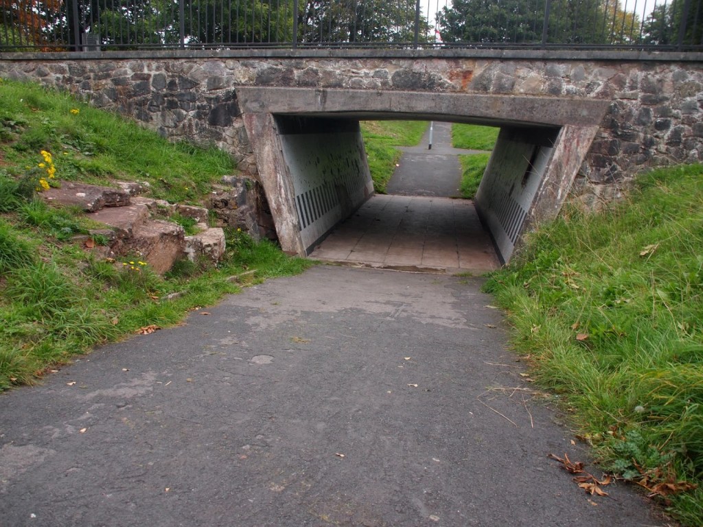
Keep right through the subway and follow the road more or less straight ahead past Hacket Lane and a pretty cottage.
At the end, cross Morton Way into Crossways Lane.
Follow the lane for a bit over a hundred and fifty metres until you can turn left down an enclosed path
with a concealed stream on the right and some allotments on your left.
Past the allotments turn right on a tarmac path.
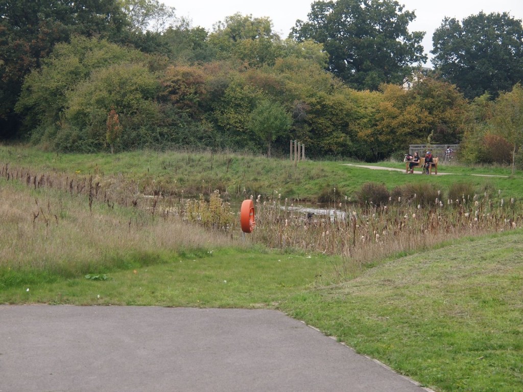
Ignore paths joining from the left and right and follow the path around to the left past a shallow pond.
Cross the footbridge over a stream and follow the path up into the next field and through the underpass under Morton Way.
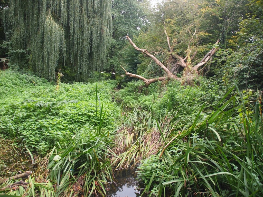
Continue to follow the stream (second on the left) past the Community Orchard and Wildflower Meadow.
Cross Gloucester Road and continue to follow the stream past one footbridge and the site of Morton Mill, where you will hear tinkling waterfalls. Take the second footbridge after this and turn left again over another bridge crossing a tributary stream.
Follow the path past a silted up pond and continue upstream.
Take the subway under Park Road and continue on the path between the stream and a Scout hut.
The remains of the old sewage works.
Keep to the tarmac path alongside the stream until you emerge on Gloucester Road. (There is an alternative route through the sewage works; but it is not an accessible path.)
Cross the road using the zebra crossing and bear right to rejoin the streamside path.
Follow the path upstream. Go straight ahead between the houses to St David’s Road.
Cross the road to a path that runs along the top of the stream through to a green open space. Bear left on a tarmac path to some bollards. Cross the road using the underpass and turn right.
The stream from the Bathings is buried under the bricks marking the borough boundary.
Head up the hill to return to the start.
Every effort has been made to ensure that the information in this leaflet is accurate and up to date at the time of publication. However, paths, access, and conditions may change over time due to weather, maintenance, or other factors beyond the control of the author or publisher. Walkers follow this route entirely at their own risk. Walkers are advised to take appropriate care, use suitable clothing and equipment, and check current conditions before setting out.
