10 Ponds, Pits and Plantations 14 K or 8.7 miles
This excursion explores new ponds, old but active claypits, the remains of quarries and old and new plantations as we walk back to Thornbury.
To get to the start, take the T1 bus from Rock Street to the Aztec West bus stop.
Chance for lunch at the Swan in Tockington at about 9K or 5.6 miles.
From the Aztec West bus stop, use the traffic lights ahead to safely cross Bradley Stoke Way.
On the other side, turn right and then left down a redundant roadway to the A38. Use the pedestrian lights to cross to the other side and turn left.
Look for a footpath on the right, just after a bus shelter. This leads past a pond onto a road in the Aztec West Complex. Turn left and follow the road around to a major thoroughfare and turn left again.
The Aztec West industrial estate is blessed with some imaginative landscaping. There are usually wildfowl to be found on the second pond, which also holds fish. I think they are carp.

Follow Park Avenue until you see another lake ahead and turn left down the footway on the right of Waterside Drive. When you have passed the lake, keep straight on a cyclepath through to Patchway.
When you have passed a barrier, turn right into an open space called The Tumps.
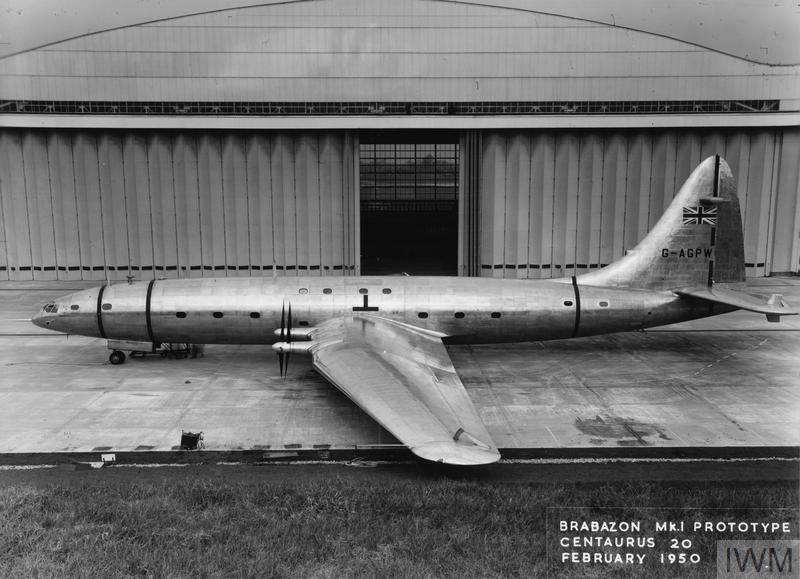
The Tumps were created as common land in the Parish of Almondsbury as compensation for loss of common land when the village of Charlton was flattened to create a runway to launch the ill-fated Brabazon airliner in 1949.
The actual Tumps are spoil heaps from the railway tunnel that runs below ground on its way to the Severn Tunnel to South Wales.
Follow the fence on your right until you come out on a path alongside the M5. Turn left alongside the motorway and turn right on the footbridge over the motorway.
This used to be the site of the Banana Bridge. It was replaced when the M5 was widened and is no longer shaped like the eponymous fruit.
Follow the enclosed path down through Pegwell Brake to come out on Over Lane beside Sawdays Nursery on the right.
Pegwell Brake is an example of Semi Natural Ancient Woodland. There are bluebells to be seen in the woodland on the right in the Spring.
Turn left and then right down Ash Lane. Turn right at the bottom of the hill to access the footbridge over the railway into Cattybrook Brickworks. Turn right and follow the path alongside the roadway through to a footpath on the left.
Cattybrook Brickworks were created to supply bricks to line the aforementioned tunnel under the River Severn. Catty means clayey in this contest, which is presumably why they put the brickworks here. There was some flooding when they put the tunnel through as one might expect. But the cause of the biggest flood was an underground river that the tunnel ran into on the Welsh side. There was some leakage in the section under the English Stones, but these were easily capped. The brickworks have been a source of relatively cheap building materials ever since.
At a path junction, turn right. Follow the path alongside the clay pit. At the next junction, turn left down some steps, then follow the path around to the left and through some bushes to come out on Monmouth Hill.
Turn left. When the road bends to the left, go straight ahead down a grassy track.
When you come to a gate on the right, go through it and go straight ahead on a path through the trees. Beware it can be muddy.
This woodland was created as part of the Forest of Avon initiative. It is not all new. The first section, on the right, is known as the Old Withy Beds, because of its former function.
When you come out on a wide grassy track, turn right. Follow the path through to a stony farm track. Turn right along it.
Follow the track around to the left, but when it goes around to the right, go straight ahead over a stile into a field.
Follow the path alongside the hedge on your right past a new plantation.
This is a much newer piece of planting that was created under the Trees for Climate initiative.
Continue to follow the right hand hedge through three field boundaries. In the fourth field, the path cuts the corner to a footbridge over Sandy Rhine. Head straight across the next field to a stile in the hedge next to a field gate.
If you are new to the area, you may not know that Rhine is the local word for a major drainage ditch. The word is much used around here, but also in the Somerset Levels. For some reason the term has been mis attached to the Morton Millstream in Thornbury.
When you come out onto Moor Lane, turn right and follow it under the motorway (M4). Continue to follow the lane, until you come to a footpath on the left just past some stable. (You may have to fight your way down the path.)
When you come out into a field, turn right and follow the path along the right hand hedge. Go through one field boundary and continue to follow the hedge until you emerge over a stone stile on the road in Lower Tockington. Cross the road.
(To visit the Swan, turn left and follow the footpath up to the Swan. After your visit, continue up to a road junction and turn right along the road past Tockington Manor Preparatory School.)
To avoid a bit of tarmac turn right and then left into a driveway past some houses. When you come out in a paddock, bear right to look for a footbridge over Tockington Mill Rhine. Turn left and then left again when you come to a gateway. * Follow the edge of the field to the left and up to a kissing gate. Continue up the edge of the Tockington Manor playing fields to a kissing gate onto the road. Turn left to join the other route.
You can avoid a bit more tarmac if you don’t turn left at *. Instead, you can keep going straight ahead on a farm track through a wood. At a junction, turn left and follow the farm track up to a road. Turn right.
In each case follow the road until the boundary wall of Tockington Manor bends around to the left alongside a farm drive.
Follow the drive up to Sheepscombe Farm, which appears to have been divided into various domestic units. The right of way now wends its way around the left hand edge of the former farmyard and continues on the line of the drive on the other side.
Follow the track along the valley until you emerge on Hazel Lane.
On the way, you may notice an unusual pit or pool on the right of the track. It is supposed to be for washing carts, but our Labrador thinks it is his personal swimming pool.
Turn right and follow the road until it bends to the right. Carry straight on up Greenhill Lane.
After you pass a kissing gate into a field on the right, look for a path on the left. There used to be a quarry here.
Cross the road at the bottom into Wolfridge Lane.
As you climb you are entering the ancient heart of Alveston as you pass quarrymen’s cottages and the village pump.
When you come out onto Wolfridge Drive, turn right and then left up the Down. Turn right opposite the former chapel up a path alongside the children’s play area.
This green open space was formerly the site of quarries and limekilns.
Continue along the footway, when the path comes out onto the road (Down Road). You cross three or four side roads until you come to a T junction. Turn right to access the pedestrian crossing. Turn left on the other side.
Go past the Ship Inn and Old Gloucester Road and follow the footway until you come to a stone stile on the right.
On the way, you will pass some impressive houses built on lower ground created by historical quarrying. These and similar quarries are responsible for the plethora of stone stiles in the district.
Go over the stone stile and go past the buildings of the Ambience Paddock and follow the path through kissing gates down the bottom of the hill.
When you come out in the field behind the Thornbury Leisure Centre bear right across the field to a gap in the corner. Through this turn left alongside the leisure centre car park and the skateboard park.
At the junction, go straight ahead between some woodland and some industrial units. Follow the enclosed path around the Tesco car park and under a tunnel to emerge in Streamside. Turn left and then right and you will find yourself in Rock Street, where you caught the bus.
